Cemetery in Chérier
Cemetery
| Town : | Chérier (Loire) |
| Address : | Rue du Vieux Bourg |
| Type : | Cemetery |
| Position : | 45.977541°N, 3.918418°E |
| Winter closure : oui | |
| Ce point d'eau a été ajouté par Erwan F en 2022 | |
Further information
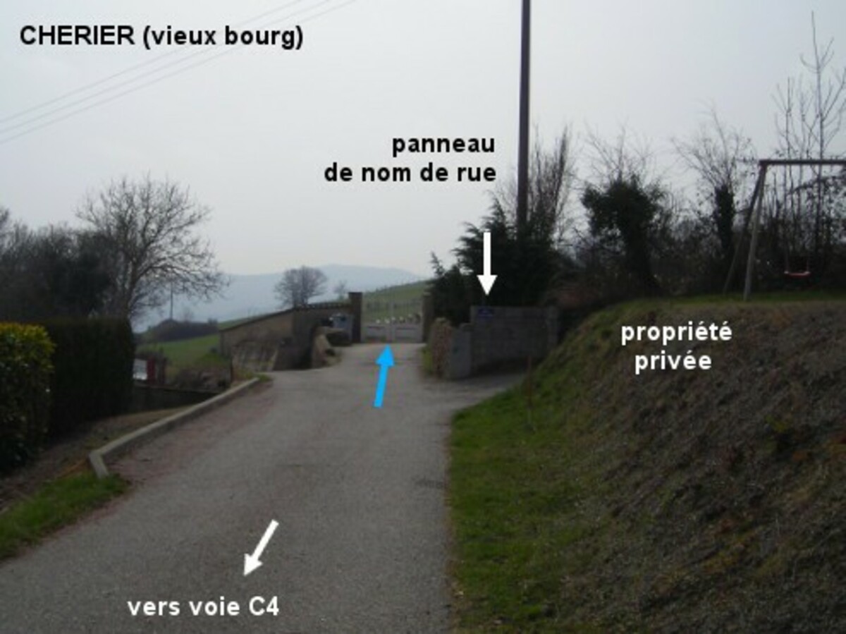
Ce cimetière est implanté au fond d'une impasse dans le vieux bourg de Chérier, non loin de l'église. 1) En provenance de la Croix Trévingt par la D41 puis la voie C1, juste après l'église tourner à droite (il y a un panneau sens interdit sauf riverains) et aussitôt à gauche pour prendre la rue en impasse qui conduit au cimetière 175 mètres plus loin. Le robinet est à l'intérieur du cimetière, vers l'extrémité du mur de gauche vers le fond, à gauche d'un portillon (qui donne sur un chemin de terre) au bout d'une allée sablonneuse d'environ 30 mètres. 2) En montant sur le vieux bourg en provenance des Moulins par la voie C4, c'est 195 mètres après le panneau de début de village qu'il faut tourner à gauche pour prendre la rue complètement à gauche qui mène au cimetière. N.B. : La route principale qui traverse le village (voie C1 puis voie C4 après un carrefour) s'appelle aussi ''rue du Vieux Bourg'' comme l'impasse menant au cimetière à proximité duquel il y a un panneau avec ce nom.
Visual cues
Want to add a testimonial ?
There's no comment yet
If you find that no water is not potable, or not accessible, thank you to report it so that it is removed from the site.