Cemetery in Lérigneux
Cemetery
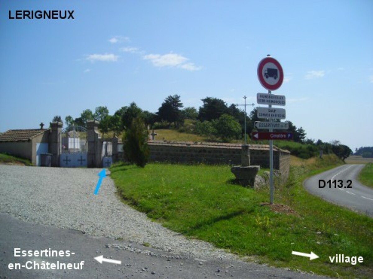
| Town : | Lérigneux (Loire) |
| Address : | route des Monts du Forez (D113.2) |
| Type : | Cemetery |
| Position : | 45.60291°N, 3.968341°E |
| Winter closure : information unknown | |
| Ce point d'eau a été ajouté par Erwan F en 2021 | |
Further information
Le cimetière est implanté côté gauche sur la D113.2 en direction de Montbrison, 150 mètres après le panneau de fin du village, à l'angle avec la petite route en direction d'Essertines-en-Châtelneuf. Entrer par le portillon (tourner la poignée dans le sens contraire des aiguilles d'une montre, sinon il ne s'ouvre pas), le robinet est à l'intérieur du cimetière, à gauche du portillon (entre le portillon et le portail).
Visual cues
Want to add a testimonial ?
There's no comment yet
Information
Warning: this site lists water points whose reliability can not be guaranteed. Before using a water point, you must ensure that there is no sign indicating that the water is not drinkable and do not infringe on private property.
If you find that no water is not potable, or not accessible, thank you to report it so that it is removed from the site.
If you find that no water is not potable, or not accessible, thank you to report it so that it is removed from the site.